Posts
Central Virginia
/0 Comments/in Panorama /by MalcolmClick her for LARGER! (might take a second to load)
This image is a 5 shot panorama. Each image taken horizontally at 30mm and stiched together in Lightroom. The resulting file is over 10,000 pixels long.
This beautiful scene was photographed early one morning in rural central Virginia, just south of Charlottesville.
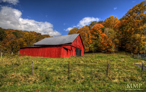
Virginia Farm
/0 Comments/in Scenic/Landscape/Waterscape /by MalcolmA rural farm, just outside of Charlottesville Virginia. This is a 6 shot panorama, each a 7 exposure HDR
Click here to see it LARGE
[button link=”http://store.malcolmmacgregorphotography.com/FineArtPrints” text=”Buy Prints Starting at $5″ color=”red” /]
[button link=”http://ruthiesawards.com/vote/retail-personal-services/photographer” text=”Vote for Malcolm for 2013 Ruthies!” color=”red” /]
Rural Nights
/0 Comments/in Night, Scenic/Landscape/Waterscape /by MalcolmI’ve photographed this barn before, but as soon as I found out that no one lived on this farm (its for sale for a cool $7 mil) I knew I wanted to get back at night time. This is only about 20 minutes worth of star trails, after that my lens began to fog up from the dew. The barn is lit with a hand-fired flash.
This photo can be purchased as a print HERE – feel free to look around at the others while you are there 🙂
The Appalachian Trail
/0 Comments/in Fall, HDR, Photo Adventures, Scenic/Landscape/Waterscape, Tennessee State Parks /by MalcolmA month ago, my brother and I planned a hiking trip on the Appalachian Trail. It’s been so long since I did any overnight hiking, I wasn’t sure what I was getting myself into!
I really wanted to do a section near Roan Mountain. I used to live in Johnson City and have been up to Roan Mountain many times, but never on the AT up there. After some internet research, we settled on starting at Carvers Gap. [mappress mapid=”2″]
Carvers Gap is right on the Tennessee/North Carolina state line.
On the way up, I stopped for a few photos
As I was heading up the mountain to meet my brother, it began hailing! When I got to Carvers Gap, it was raining off and on and it was very windy. We tried to wait a little to see if the weather would pass, but finally decided to just head on. It was already late in the day and we wanted to get to Roan High Knob shelter before it got too dark. Roan High Knob is about 1.5 miles from Carvers Gap, but the climb was pretty steep.
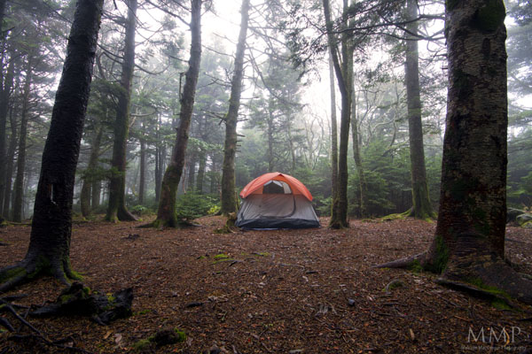
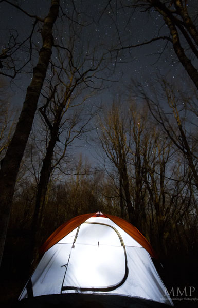
We hiked through the rain and made it to the shelter to find that people were already set up in it. So we pitched the tent in the rain/mist.
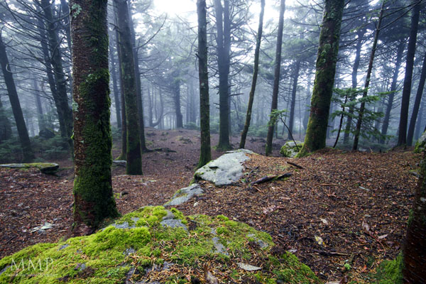
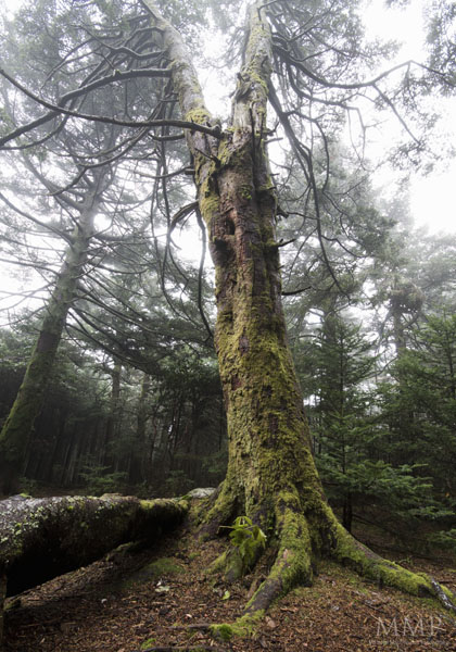
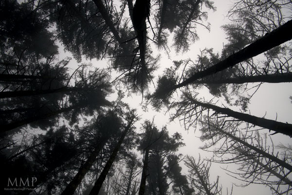
Some other photos of Roan High Knob:
This one is probably my favorite photo from the entire trip…
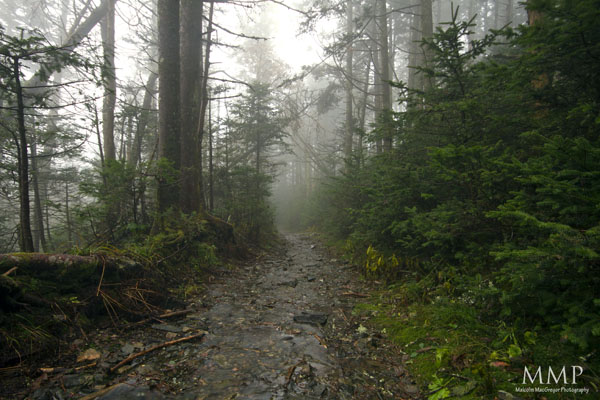
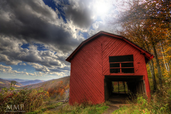
The next morning, we packed up the wet tent and headed back down the mountain. The target destination for the day was the Overmountain Shelter, about 5-6 miles. It’s an old red barn that’s used as a shelter on the Appalachian Trail. The views from there are supposed to be great!
That morning, it was still wet and misty. Here are some shots from the first mile or so that morning:
Once we made it back to Carver’s Gap, we continued to the balds. It was very windy and low laying clouds were moving so fast!
Because of how windy and wet it was, I was reluctant to get the camera out much.
We hiked on. A little after lunch, we made it to Overmountain Shelter (after a short detour on a wrong path 🙂
Before even leaving home for the trip, I had a shot in mind that I wanted to attempt. I wanted to photograph this barn at night with some very long exposures so to get the star trails streaking off to the left. Once we got there, I started getting my camera gear out and I realized that I had lost my remote trigger. In order to long exposures, I had to have that trigger 🙁
So, instead, I got a shot of the view
There were already several people at the shelter so we decided to head back to a campsite that we passed a couple miles ago on the trail. Most of the day was downhill, so we knew we had hard uphill day waiting for us so we wanted to get some of it out of the way.
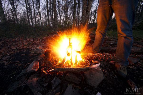
We made it to the campsite and finally got a fire going!
It took us so long to get this fire going. The ground and wood was still pretty wet and the wind was constantly blowing pretty hard. But we got it going so we got to eat a hot dinner.
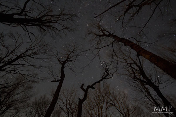
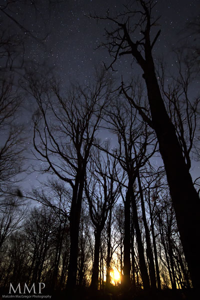
Without my remote trigger, I couldn’t take any star trail photos. I have, however, seen a technique used to photograph the stars with only a 30 second or less exposure using a very high ISO. So I decided to try it:
I noticed the nearly full moon rising between the trees:
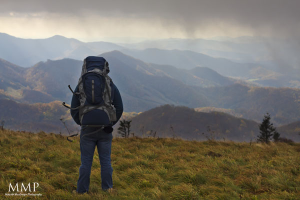
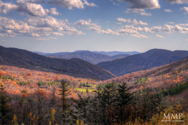
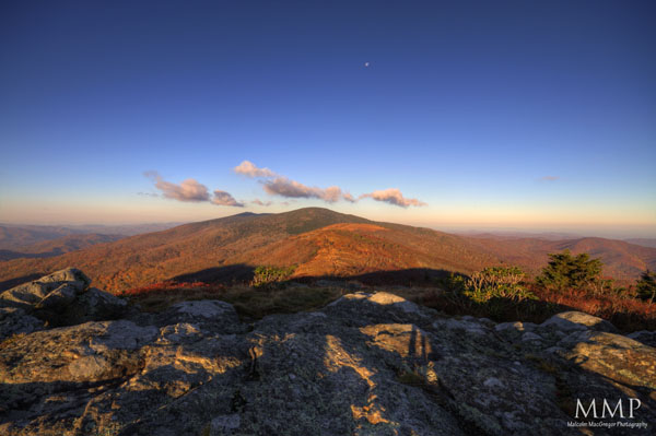
The weather had improved greatly the next day. It was a hard hike as it was nearly all uphill. But once we made it back to the balds, it was amazing:
To the left is North Carolina, to the right is Tennessee. Straight ahead is Jane Bald and Round Bald. The ridge in the background that still has some green on it is Roan High Knob, where we camped the first night.
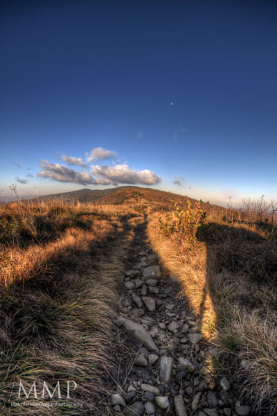
And finally, here is the Appalachian Trail heading toward Jane Bald
What a fun trip! I’m definitely planning on doing it again sometime soon!
Thanks for looking!
Instagram Feed
Instagram did not return a 200.Contact Info
What’s Latest
 Southern Appalachian Spruce Fir – Roan Highlands, Tennessee/North CarolinaJune 13, 2017 - 8:27 pm
 Blue Ridge Parkway Mile Post 19 – 20 Minute CliffJune 3, 2017 - 9:32 am
 General Jackson – Charlottesville, VirginiaMay 30, 2017 - 8:40 pm
 Frisco Pier – Cape Hatteras, North CarolinaMay 30, 2017 - 8:35 pm
 Bodie Island Lighthouse and Milky Way – Nags Head, North CarolinaMay 30, 2017 - 8:30 pm


