Posts

Nashville Sunrise


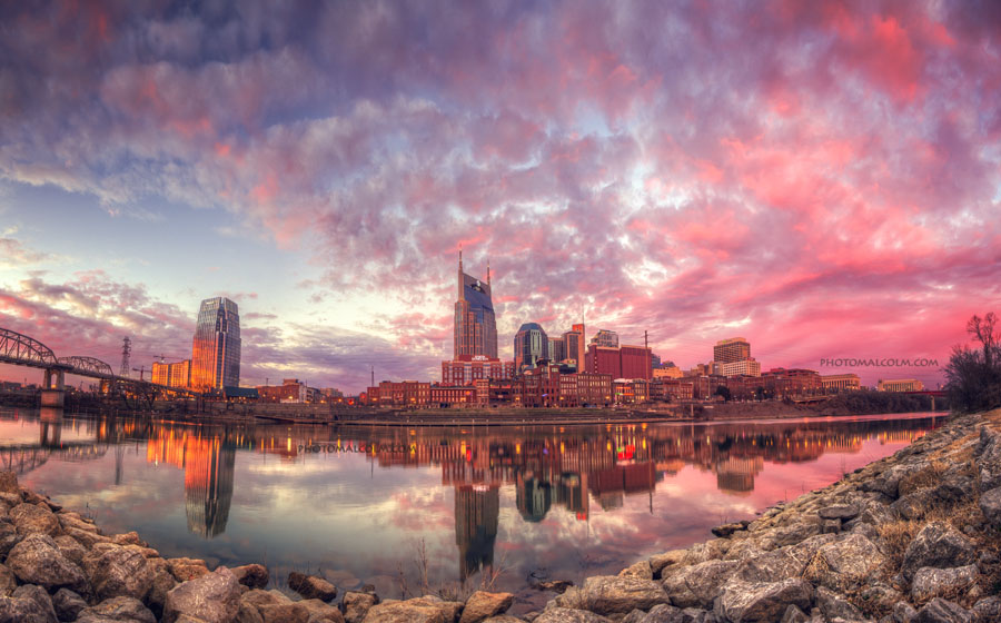
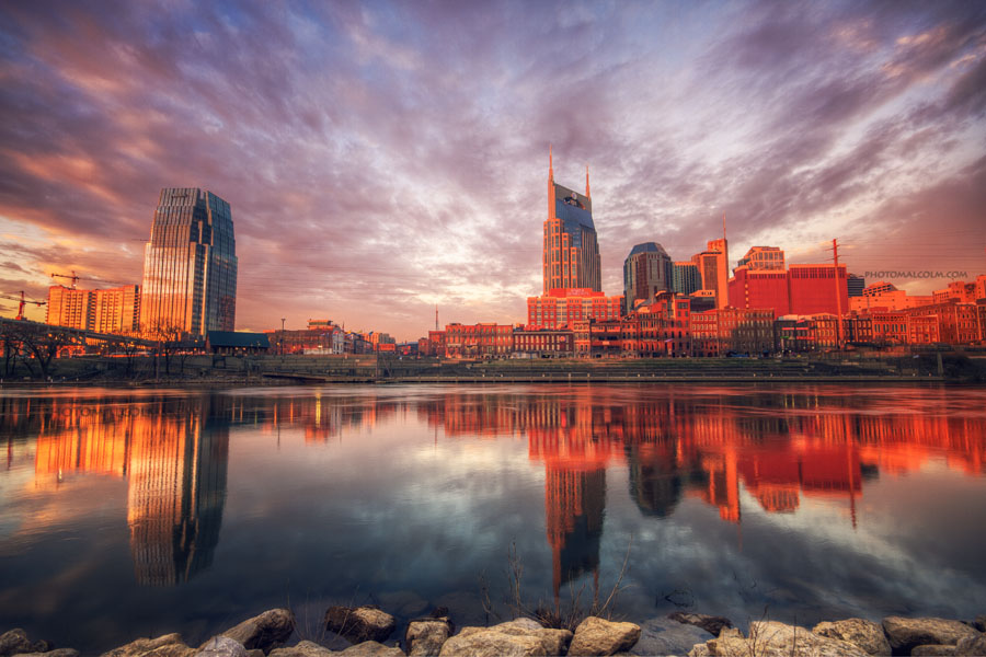
Late last week I had to head into Nashville early so I decided to stop to get a few shots of the city. I realized I completely lucked out just as I was parking. I quickly headed to the banks of the Cumberland River and this is what happened:

Nashville_Panorama2 2-21


Typically, this is a great spot to shoot the sunset but there was so much color in the sky from the sunrise this morning that it stretched all the way into the western sky. The above photo is a 6 shot panorama. Each is a 3 exposure HDR. The photos were merged into HDR using Photomatix and then merged into panorama using Photoshop.


Once the sky died down a bit and the sun came up more it cast some beautiful orange light on the buildings:

_MG_7395-Edit


I have another shot from this morning that I will be using for another full tutorial over on SOHDR.com – check it out if you are interested in learning HDR!


Nashville’s Public Square Park

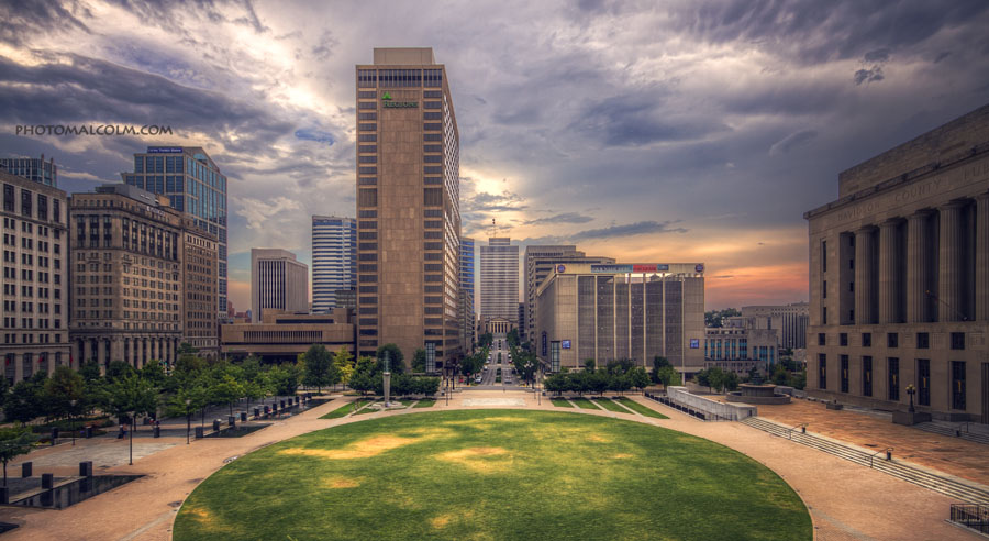
The view of Nashville from the Public Square Park
Public Square Park in Nashville


Purchase this photo HERE! There are also many more Nashville photos available at that link.

Thanks for stopping by!

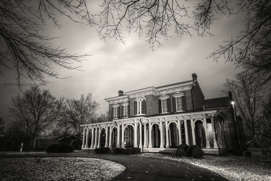
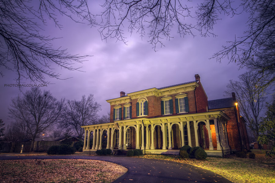
Oaklands Historic Mansion

[beforeafter]_MG_7765_66_67_68_69_70_tonemapped

_MG_7765_66_67_68_69_70_tonemapped copycolor[/beforeafter]


Click “Show Black and White” or “Show Color” to see the different images – which do you prefer?


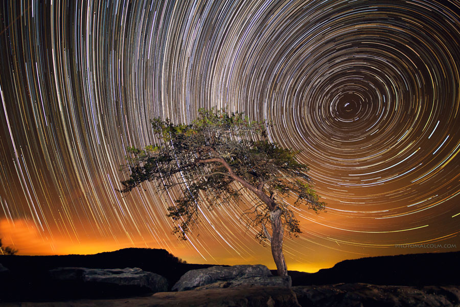
Buzzard’s Roost – Fall Creek Falls State Park


Approximately 4 hours worth of exposures on a fairly clear night.

Free Desktop Background – The Nashville Skyline

After several requests lately, I’ve decided to offer up a free desktop wallpaper. Feel free to download this photo and make it your wallpaper at home or at work. It is full resolution and should fit full size monitors. Thank you all for your continued support and keep me in mind for your photographic needs 🙂


Click on the image below, then right click on it and select “save image as”


Share my facebook page with your friends! When we reach 1,000 likes, I’ll upload another free background!!


As always, thanks for stopping by!


Malcolm

March’s New Spot – The Natchez Trace Bridge

In March, I decided to visit yet another location that I’ve been meaning to get to for a while now. I headed out to the Natchez Trace bridge near Franklin, TN. The Natchez Trace is a scenic parkway that runs from middle Tennessee all the way to Natchez, Mississippi. The best part about the bridge (and something that I wasn’t expecting) is that it was wide enough for people to walk out on. There was even a parking lot at one end. This allowed us to park and walk out to catch an amazing view of the sun setting:


When looking up images of the bridge, I couldn’t find any shots of it at night so I decided to head out there for sunset with the idea of staying late to shoot the bridge at night.

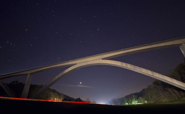
Once the sun went down, I was able to shoot the bridge from Highway 96 below.

This is one 30 second exposure. I ended up taking about 80 of these shots, stacked them together and that’s how I got the lead photo that shows the motion of the stars. That’s how far the stars move in about 40 minutes.


From Wikipedia:

The Natchez Trace Parkway Bridge is a concrete double arch bridge located in Williamson County, Tennessee, 14 km (8.7 mi) from the northern terminus of the Natchez Trace Parkway. It is 479.1 m (1,572 ft) long and carries the two-lane Natchez Trace Parkway 44.2 m (145 ft) over State Route 96 and a heavily wooded valley. The 177.4 m (582 ft) long main span is symmetrical, while the 140.8 m (462 ft) long second arch is not, due to the slope of the valley at the southern end of the bridge.[2] The bridge is unique in that it does not use spandrel columns to support the deck from the arch. Rather than being evenly distributed along the arch’s length, the weight of the bridge is concentrated at the crown of the arch. The lack of spandrel columns results in a clean, unencumbered appearance.

The bridge, also known as the Natchez Trace Parkway Arches, is the first segmentally constructed concrete arch bridge in the United States.[2] The arches comprise 122 hollow box segments precast in nearby Franklin, each of which was about 3 m (9.8 ft) long and weighed between 26 and 41 metric tons (29 and 45 short tons) .[2] The deck consists of 196 precast post-tensioned trapezoidal box girder segments, each typically 2.6 m (8.5 ft) long. The sections atop the crown of the arch are 3.9 m (13 ft) deep.[2] The foundations and piers of the bridge were cast in place.[2]


Thanks for stopping by!

If you have an idea for a place you’d like to see me shoot, let me know! Leave a comment here or send me an email!

January’s “New Spot” – Poole Knobs Recreation Area on Percy Priest Lake

So this year I’ve decided that I’m going to start a monthly challenge for myself. I find that when I get out to take photos I often head to the locations that I’m familiar with. This year, I’m going to attempt to get to at least one new-to-me location every month. I’m hoping this helps me to find many more great places to shoot in middle Tennessee.


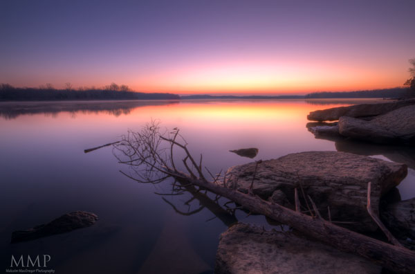
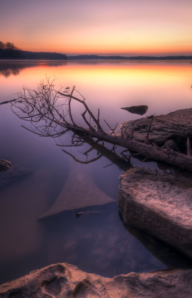
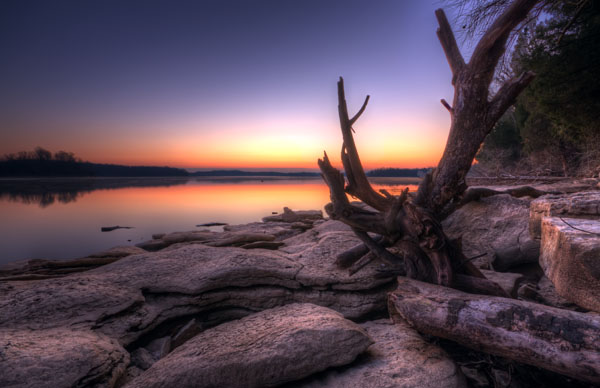
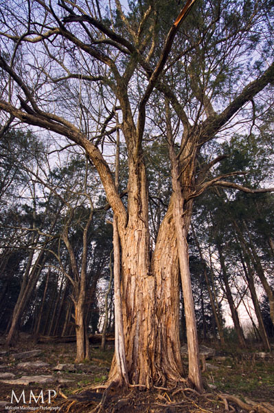
January’s “New Spot” was Poole Knobs Recreation Area. Less than 30 minutes from my house, I can’t believe I’ve never been there. It’s an absolutely beautiful spot and perfect for sunrise photography. There was tons of drift wood and rocks lining the shore of Percy Priest Lake, something you don’t get at the lake I usually shoot – Radnor Lake.


These were all shot early one Sunday morning in January. Enjoy!


If you have an idea for a place you’d like to see me shoot, let me know! Leave a comment here or send me an email!


Most of these photos are HDR photos processed with Photomatix. If you are interested in creating HDR photos like these, you can get a 15% percent discount on Photomatix by using the Coupon Code “MALCOLMPHOTO” – Read this blog post for more information! 


Thanks for looking!


The Appalachian Trail

A month ago, my brother and I planned a hiking trip on the Appalachian Trail. It’s been so long since I did any overnight hiking, I wasn’t sure what I was getting myself into!

I really wanted to do a section near Roan Mountain. I used to live in Johnson City and have been up to Roan Mountain many times, but never on the AT up there. After some internet research, we settled on starting at Carvers Gap. [mappress mapid=”2″]

Carvers Gap is right on the Tennessee/North Carolina state line.

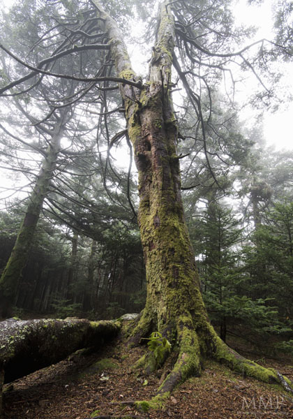
On the way up, I stopped for a few photos


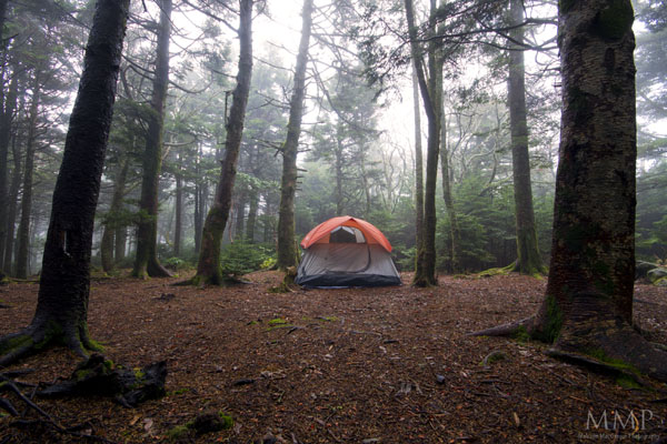
As I was heading up the mountain to meet my brother, it began hailing! When I got to Carvers Gap, it was raining off and on and it was very windy. We tried to wait a little to see if the weather would pass, but finally decided to just head on. It was already late in the day and we wanted to get to Roan High Knob shelter before it got too dark. Roan High Knob is about 1.5 miles from Carvers Gap, but the climb was pretty steep.

We hiked through the rain and made it to the shelter to find that people were already set up in it. So we pitched the tent in the rain/mist.


Some other photos of Roan High Knob:
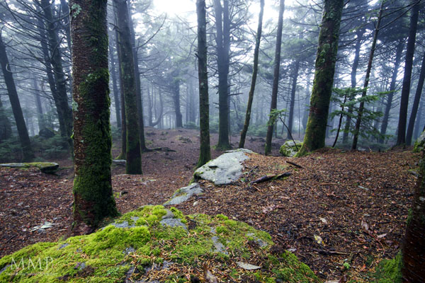


This one is probably my favorite photo from the entire trip…


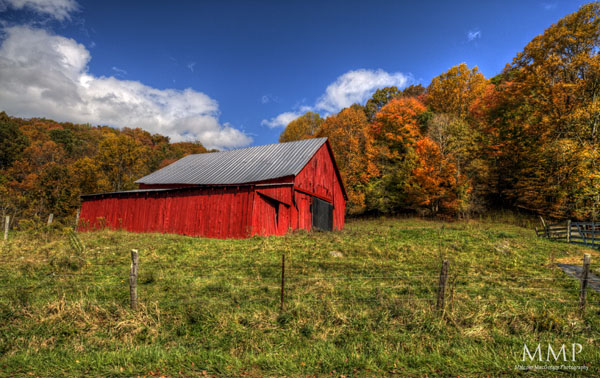
The next morning, we packed up the wet tent and headed back down the mountain. The target destination for the day was the Overmountain Shelter, about 5-6 miles. It’s an old red barn that’s used as a shelter on the Appalachian Trail. The views from there are supposed to be great!

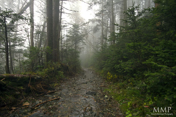
That morning, it was still wet and misty. Here are some shots from the first mile or so that morning:


Once we made it back to Carver’s Gap, we continued to the balds. It was very windy and low laying clouds were moving so fast!
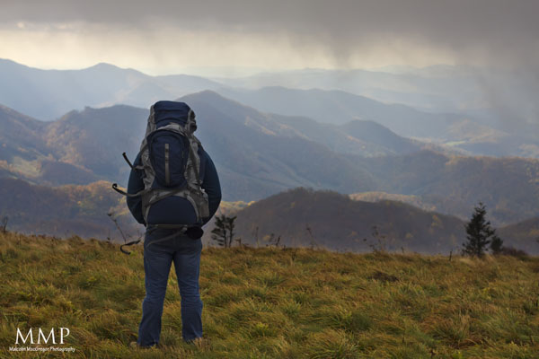


Because of how windy and wet it was, I was reluctant to get the camera out much.

We hiked on. A little after lunch, we made it to Overmountain Shelter (after a short detour on a wrong path 🙂
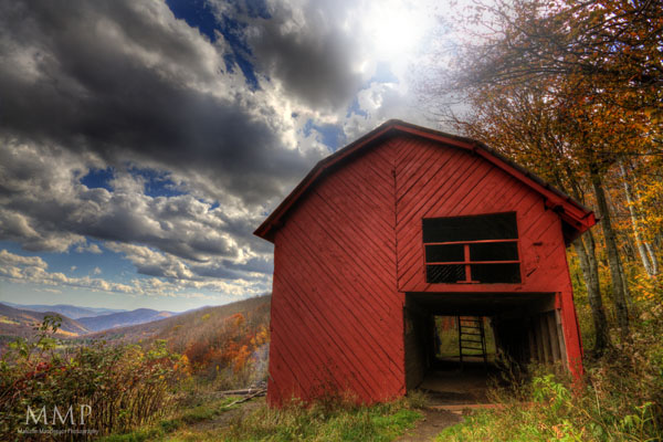


Before even leaving home for the trip, I had a shot in mind that I wanted to attempt. I wanted to photograph this barn at night with some very long exposures so to get the star trails streaking off to the left. Once we got there, I started getting my camera gear out and I realized that I had lost my remote trigger. In order to long exposures, I had to have that trigger 🙁

So, instead, I got a shot of the view
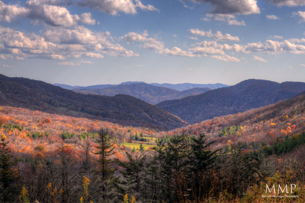
 

There were already several people at the shelter so we decided to head back to a campsite that we passed a couple miles ago on the trail. Most of the day was downhill, so we knew we had hard uphill day waiting for us so we wanted to get some of it out of the way.

We made it to the campsite and finally got a fire going!
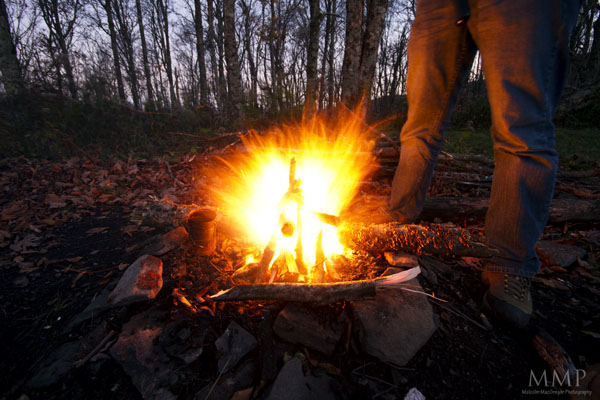
 

It took us so long to get this fire going. The ground and wood was still pretty wet and the wind was constantly blowing pretty hard. But we got it going so we got to eat a hot dinner.

Without my remote trigger, I couldn’t take any star trail photos. I have, however, seen a technique used to photograph the stars with only a 30 second or less exposure using a very high ISO. So I decided to try it:
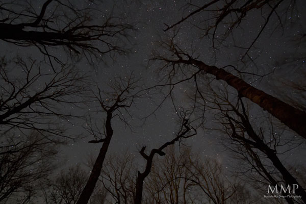
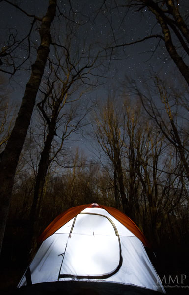


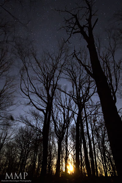
I noticed the nearly full moon rising between the trees:


The weather had improved greatly the next day. It was a hard hike as it was nearly all uphill. But once we made it back to the balds, it was amazing:
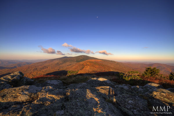
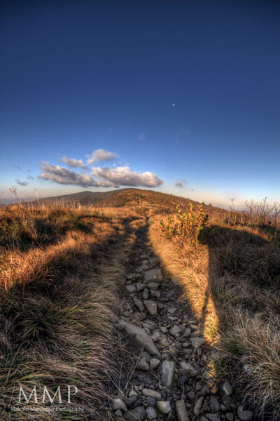
To the left is North Carolina, to the right is Tennessee. Straight ahead is Jane Bald and Round Bald. The ridge in the background that still has some green on it is Roan High Knob, where we camped the first night.

And finally, here is the Appalachian Trail heading toward Jane Bald


What a fun trip! I’m definitely planning on doing it again sometime soon!

Thanks for looking!

City Life – Nashville Street Scenes

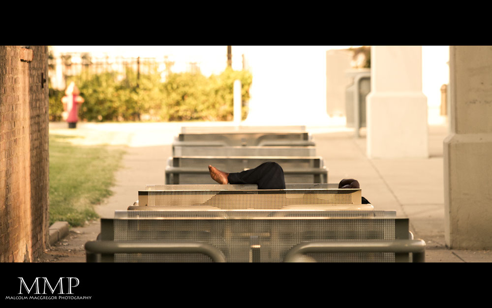
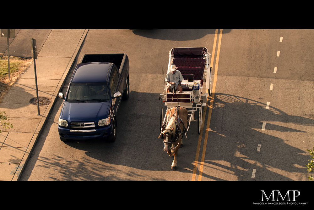
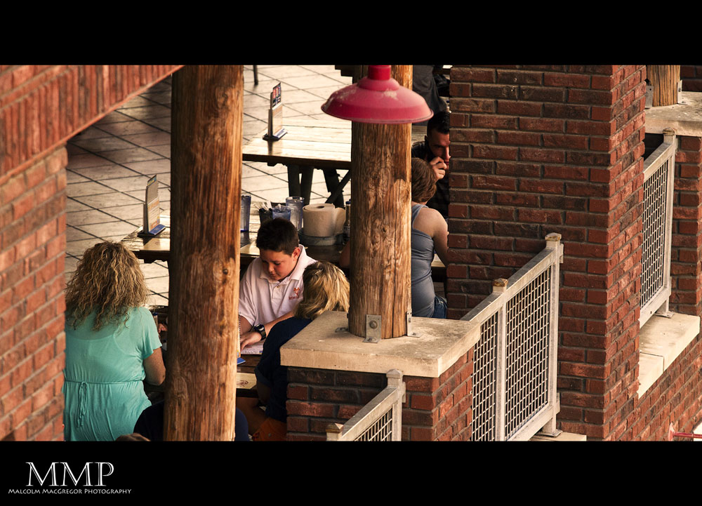
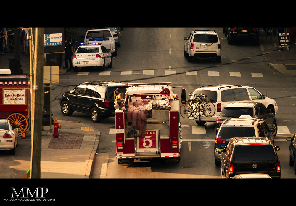
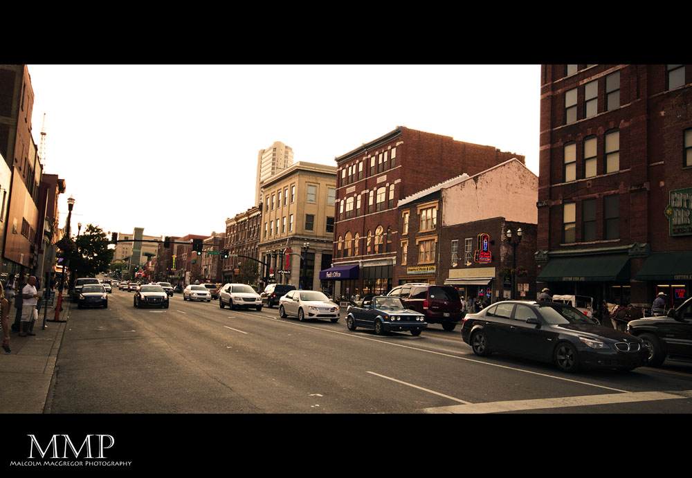
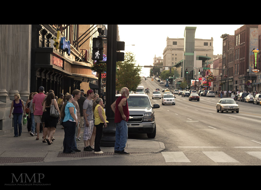
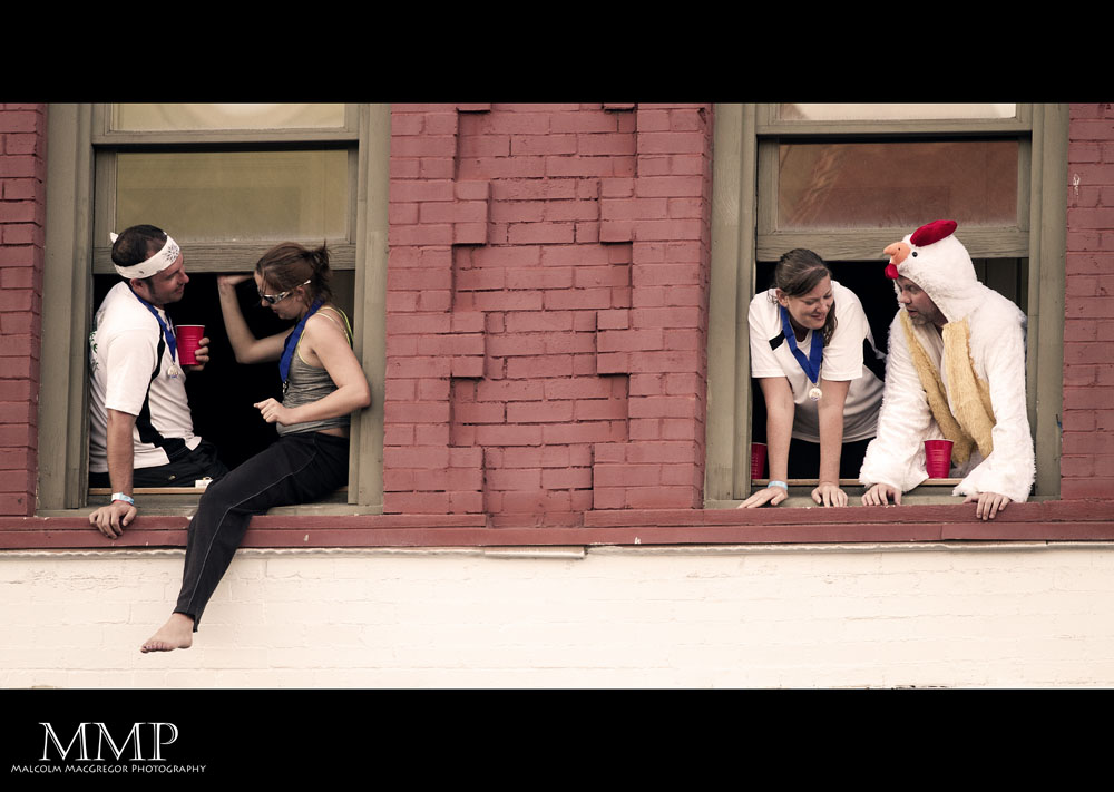
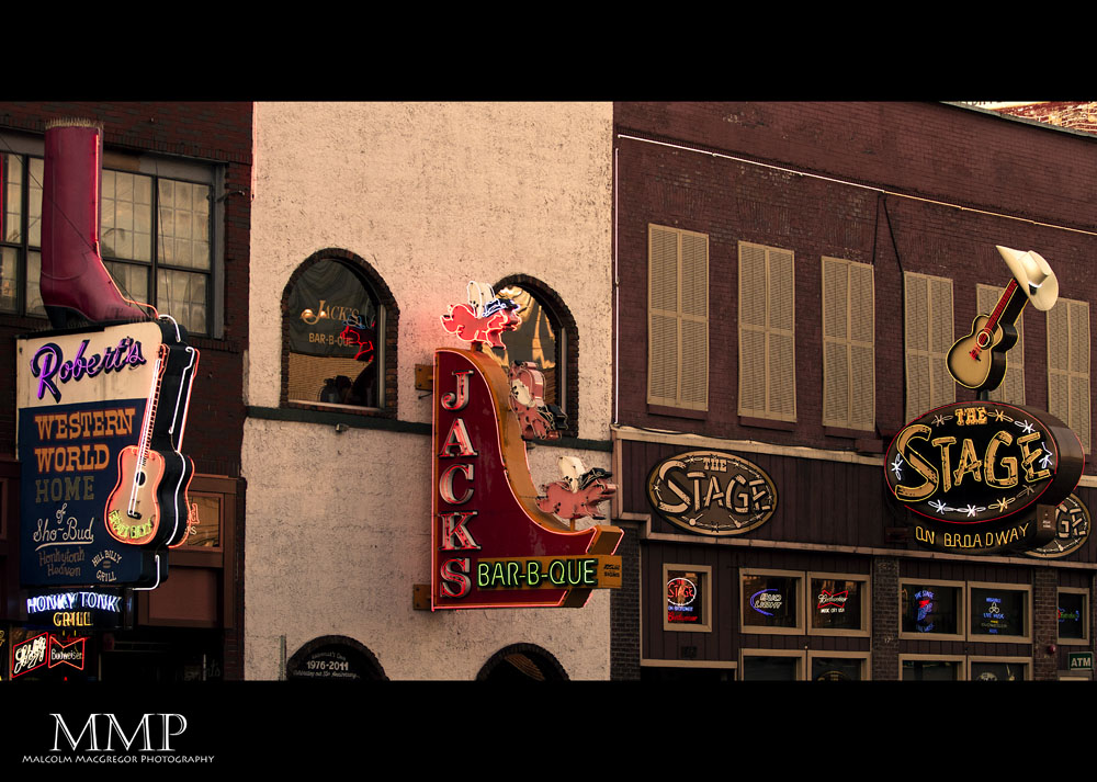
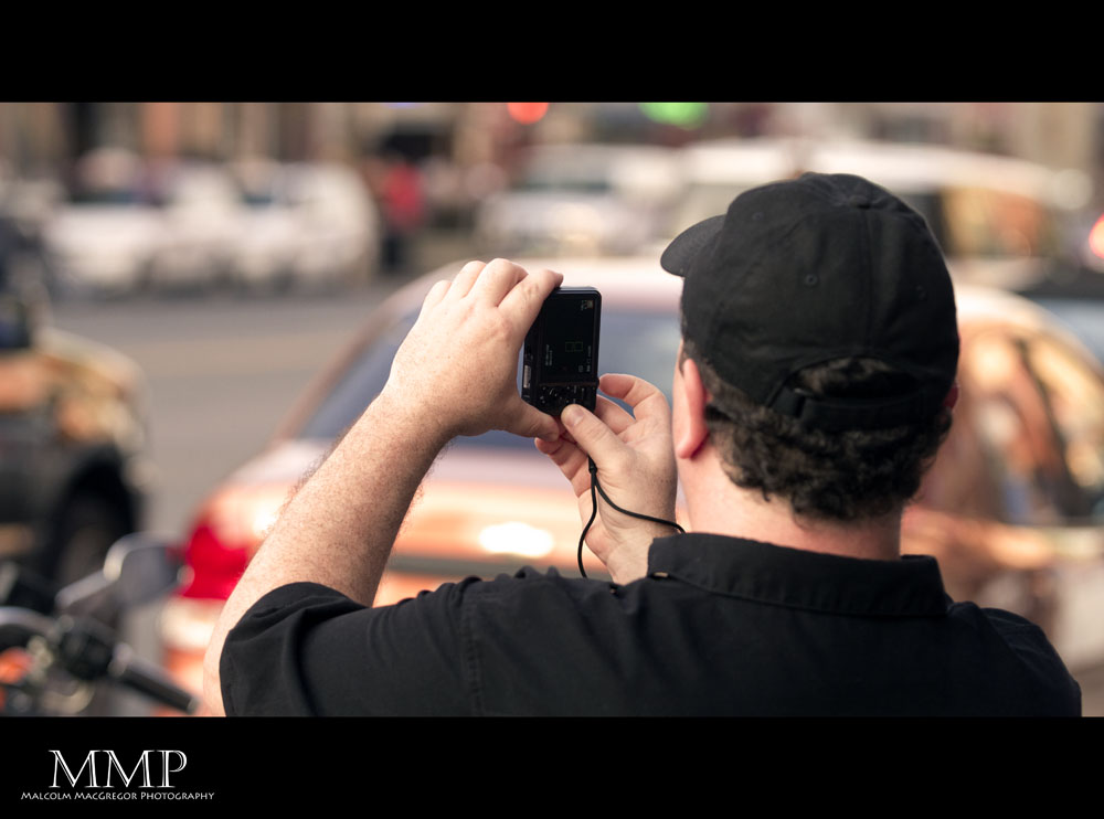
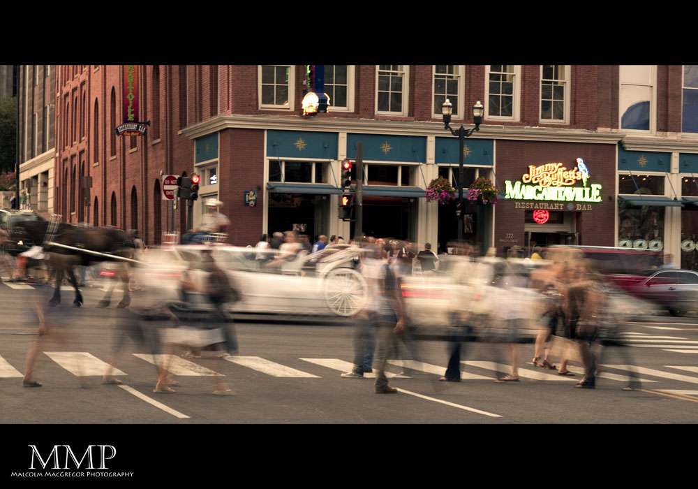
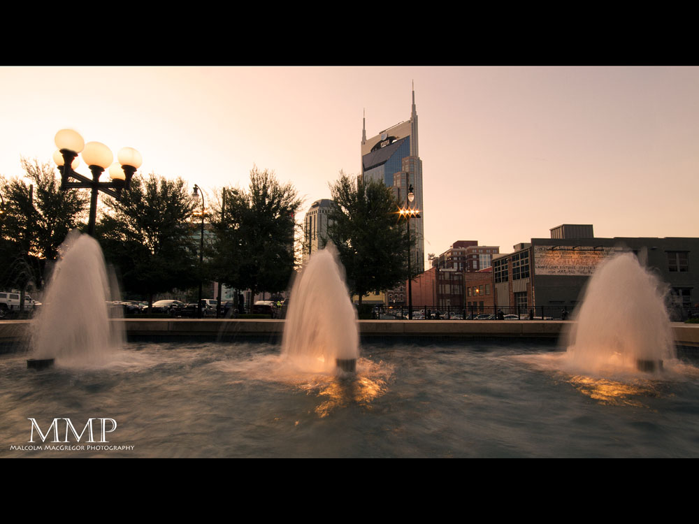
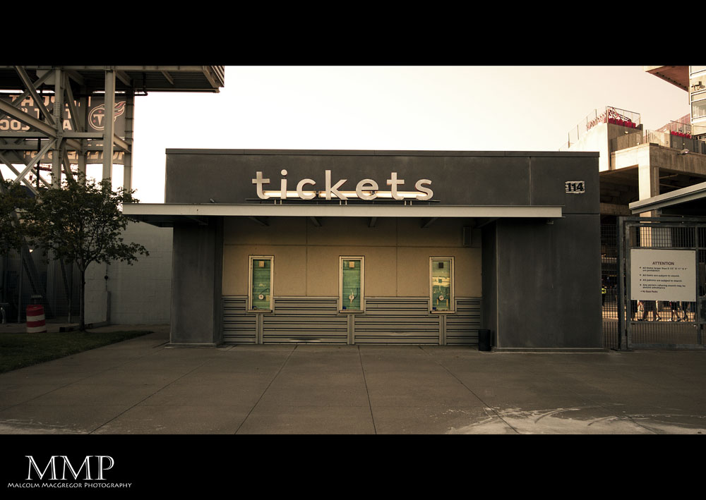
So here’s something different from me today. I recently participated in a photowalk around downtown Nashville with some fellow photographers in the Murfreesboro Photographic Society. I took a bunch of photos and decided I wanted to try a cinematic type processing for them. After many tries, I feel like I got something I like. I hope you enjoy some Nashville city scenes….

Thanks for looking!